2023 has offered a strange mix of weather so far, from winter weather that continued well into spring, to a spring that has felt more like summer, triggering forest fires and air quality advisories.
So how will the rest of spring and summer shape up in terms of weather in the Prairies, and how will that impact our climate? While some switching weather patterns make this hard to predict, experts are anticipating water supply challenges, fires and drought.
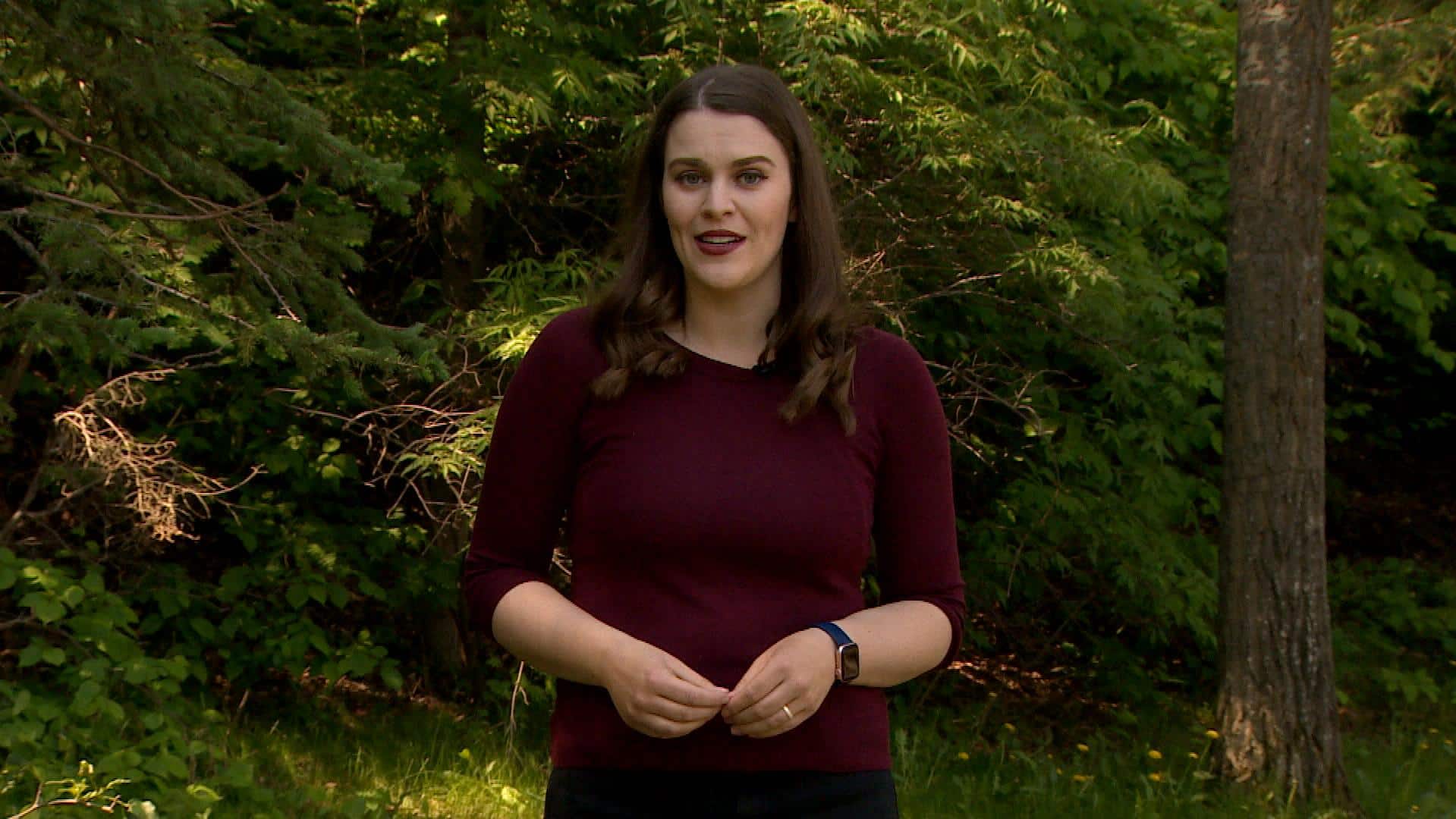
Terri Lang, a meteorologist with Environment and Climate Change Canada (ECCC), says the Prairies are shifting out of a La Niña pattern — where colder Pacific Ocean temperatures prolong cold, winter air and bring late-season snow events.
It's the third winter in a row this pattern has occurred, and only the third time since 1950 that we've seen a "triple dip" La Niña event, Lang said.
Warmer Pacific Ocean temperatures mean we're now shifting into an El Niño pattern. This usually means milder and drier winters on the Prairies.
WATCH | A rare 'triple-dip' La Nina could mean a wild winter:
The National Oceanic and Atmospheric Administration has issued an El Niño watch, and says it could develop between now and July, but Lang says it's more likely to fully develop by the fall.
Challenge to forecasting
The transition period, Lang said, doesn't usually have a noticeable temperature or precipitation pattern, making long-term forecasting challenging.
"With April, we kind of had a little bit of a hangover from La Niña," said Lang.
"There was still some colder air sitting off the coast of British Columbia. But all of a sudden somebody switched a switch on and we went almost immediately into hot, dry weather."
ECCC's three month outlook shows May, June and July are expected to be warmer than normal in much of Canada. Portions of northern Alberta, Saskatchewan and Manitoba have a 70 to 90 per cent chance of seeing above normal temperatures.

Precipitation is much harder to predict, said Lang, with ECCC's outlook not showing a noticeable trend.
Lang said forecasters think this El Niño event could be more powerful than others.
"Just now because we have ... that contribution of climate change," said Lang. "We're starting to see temperatures rise globally and what does that mean for an El Niño event ... that's sort of in question right now."
Low snowpack means less water
Much of Alberta and Saskatchewan relies on water from melting snow in the Rocky Mountains for replenishment of waterways in the summer.
But John Pomeroy — director of the University of Saskatchewan's Coldwater Laboratory in Canmore, Alta. — told CBC that this past winter provided one of the lowest snowpacks he's seen.
The snow also melted about six weeks earlier than anticipated, fuelled by the unseasonably warm weather.
WATCH | What a low snowpack in the Rocky Mountains means for spring:

Pomeroy said this means waterways through parts of the Prairies are peaking now, instead of June and July.
"That creates problems for storing water for irrigation ... later on in June," he said.
It could also be challenging, he said, to fill Lake Diefenbaker — an important irrigation and drinking water source in Saskatchewan.
"No one has tried to attribute this to climate change formally, but it is very, very consistent with the predictions of models for climate change several decades in the future," said Pomeroy.

Much of the Prairies are "abnormally dry," according to Agriculture and Agri-Food Canada's drought monitor, with swaths of moderate drought and pockets of severe drought.

The outlook for the end of May shows worsening drought in parts of Alberta, no change in drought or removal of drought in Saskatchewan and drought developing in portions of Manitoba.
Early fires common, yet concerning: researcher
Lori Daniels, a professor in the Forest and Conservation Sciences Department at the University of British Columbia, says this time of year — after the snow melts but before trees fully bloom — is common for wildfires.
But the quick and severe start to this fire season, with massive areas already burned, reminds her of 2016 — a year that brought the fire that ravaged Fort McMurray, Alta.
That fire started amid "similar conditions," she said. "We know the warmer, drier weather is coming."
A low snowpack this year means less moisture in the ground to prevent future fires, said Daniels.
Natural Resources Canada's fire severity forecast maps show a very high to extreme rating through much of the Prairies — especially Alberta and Saskatchewan — particularly through May and June.

The severity forecast in Manitoba is also significant, with a high to very high rating during those months.

Daniels said climate change has already increased the size and severity of fires in Western Canada in recent years, but El Niño's warmer, drier pattern will likely also have an impact on fire development.
"We're moving into a multi-year pattern here where we're at risk for prolonged drought and additional fire," she said.
"The fact that at the beginning of this fire season we already have large, fast-moving fires having such consequence in Alberta is really a warning sign."
https://news.google.com/rss/articles/CBMiV2h0dHBzOi8vd3d3LmNiYy5jYS9uZXdzL2NhbmFkYS9zYXNrYXRjaGV3YW4vc3VtbWVyLXdlYXRoZXItbG9va2FoZWFkLXByYWlyaWVzLTEuNjgzODY3MtIBIGh0dHBzOi8vd3d3LmNiYy5jYS9hbXAvMS42ODM4Njcy?oc=5
2023-05-15 10:00:00Z
CBMiV2h0dHBzOi8vd3d3LmNiYy5jYS9uZXdzL2NhbmFkYS9zYXNrYXRjaGV3YW4vc3VtbWVyLXdlYXRoZXItbG9va2FoZWFkLXByYWlyaWVzLTEuNjgzODY3MtIBIGh0dHBzOi8vd3d3LmNiYy5jYS9hbXAvMS42ODM4Njcy
Tidak ada komentar:
Posting Komentar